
Share
Atlas Fire Maps
Atlas Fire Maps
Bill Hocker | May 27, 2018 on: Maps
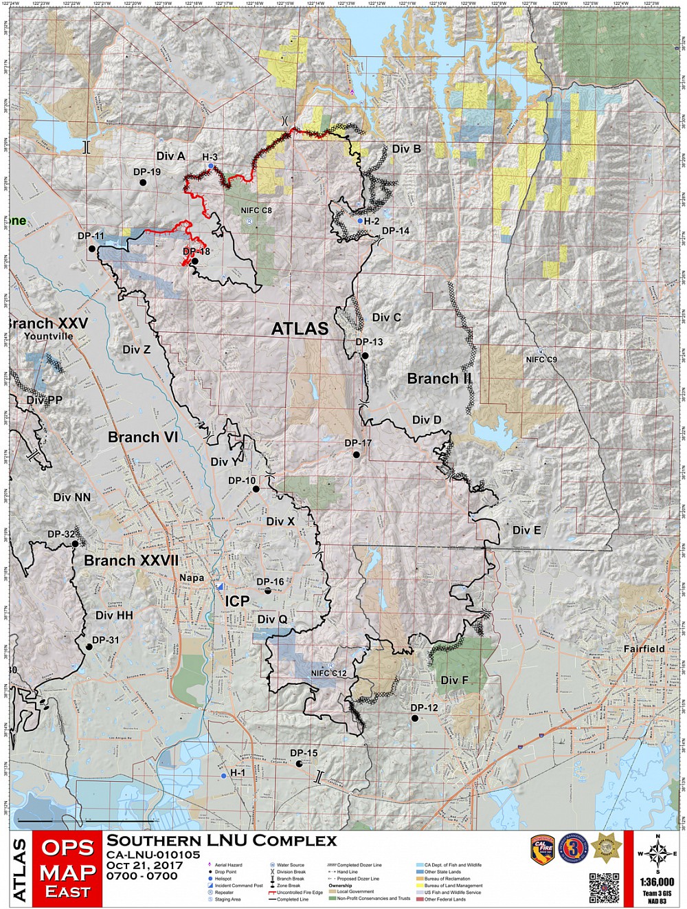 2017 Atlas Fire maps showing the extent, progression by day, and sequence of reopening areas to residents. The deep indentation in the upper edge of the fire line encircles the whole of the residences on the Foss Valley Plateau at the end of Soda Canyon Road


