
A View of Walt Ranch
on the web at: https://sodacanyonroad.org/forum.php?p=2267
Bill Hocker | May 12, 2022
click to enlarge
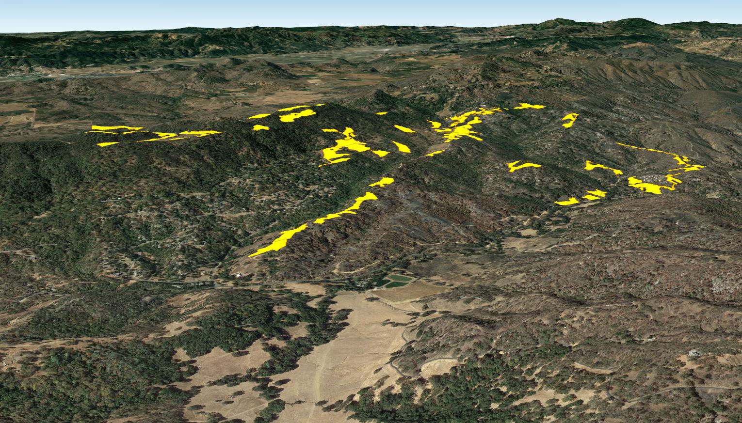
Dr. Manfree writes, "I knew that ridge-top vineyards would be visible, but WOW! If built, you will be able to see Walt Ranch from nearly every population center and park in Napa County. There will be no getting away from the visual impact of this project for Napa residents and tourists."
The photos shown below are screen shots taken of the Google Earth Pro app. The app allows you to take flight and traverse the globe as a bird (or satellite) would see it. If you don't already have it, Download the Google Earth Pro App here
The Walt vineyard map file must be downloaded to your computer and then opened (File -> Open...) with the Google Earth app. Click to download Walt vineyards file

Downtown Napa

County Building (after an earthquake)

Skyline Park

Silverado County Club

Milliken Reservoir
Montecello Road

Atlas Peak Road
copyright © sodacanyonroad.org